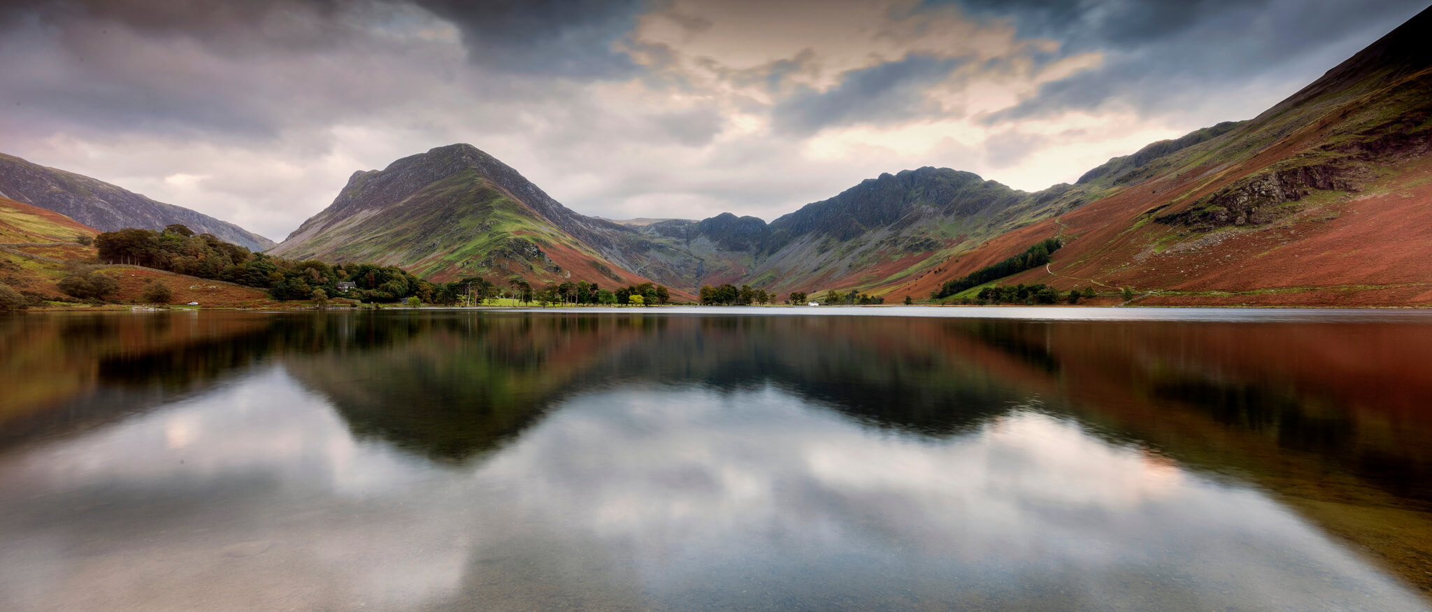
Finding a genuinely accessible walk in Cumbria is harder than it should be. There are guides everywhere for the fells, the high passes, the scrambles – but if you need a smooth path, flat ground or easy access from a road, those guides tend to go quiet fairly quickly.
Laura Earl knows this better than most. After overcoming a brain tumour in 2024 that left her with serious mobility issues, she found herself having to rethink how she gets out into the Cumbrian countryside she loves. Together with her family – who set up the Hiking Household website during lockdown, with hundreds of walks listed – she put together 30 accessible routes across the county, all reachable by Stagecoach bus. Whether you use a wheelchair, a walking stick or just want a gentler option the whole family can manage, there’s something in here worth trying.
Routes range from less than a mile to just over two. Most are paved or on compacted paths. Laura flags up where surfaces get tricky.
North Cumbria

Dalston Village Loop, Dalston
Distance: 1.6 miles | Difficulty: Easy/moderate
Bus: Route 554 – Carlisle to Wigton, Bassenthwaite and Keswick
Dalston is a large village about four miles south-west of Carlisle, and this loop is flat, wheelchair-friendly and well supplied with benches. We use this one regularly. There’s a Co-op, a church, a village hall and a play park, plus a butcher’s and a good baguette shop – so you can pick up provisions, have a walk and reward the children with a picnic and a play. It all makes for a very civilised afternoon.
Hammond’s Pond, Carlisle
Distance: 0.5-0.8 miles | Difficulty: Easy
Bus: Stagecoach route 67 into Carlisle
Hammonds Pond is tucked in Upperby, to the south of Carlisle, and it’s one of the nicest green spaces in the city for anyone who needs a smooth, accessible path. The surface is excellent for wheelchairs and pushchairs, the route circles the pond, and there are play areas for different ages and enough birdlife – ducks, swans and all sorts – to keep children occupied the whole way round.
Petteril Valley, Harraby
Distance: 0.6-2 miles (flexible) | Difficulty: Easy/moderate
Bus: Route 104 – Carlisle to Penrith, or Stagecoach route 61
This is a proper green space south of Carlisle, fully pedestrianised and well away from roads: good for wheelchairs, prams and children on scooters. The tarmac paths are wide enough for easy access, the views across the valley and over the River Petteril are beautiful, and there are two play areas at either end. The highlight for my children is the train track running close by. Watching the trains go past never seems to get boring.
Chances Park, Morton
Distance: 0.8 miles circular | Difficulty: Easy
Bus: Route 300, Route 400, or Stagecoach routes 61 or 63
A short walk with everything in one place: community centre, library and a children’s play park. The paths are pram and wheelchair accessible. It’s not a long route, but sometimes that’s exactly what you need – fifteen minutes of fresh air, somewhere safe for the kids, and an easy journey home.
Carlisle Heritage Walk
Distance: Approx 1.5 miles | Difficulty: Easy/moderate
Bus: Multiple routes into Carlisle city centre, including Route 300 and Route 400
This walk threads through the heart of Carlisle, taking in the main historical landmarks along the way. Start at the Tourist Information Centre, pick up a Discover Carlisle Heritage Map (small charge applies) and you have a proper guided trail through one of the north of England’s most interesting cities. The walking is accessible throughout – smooth surfaces, plenty of rest stops – and there are cafes, shops and the city library if you want to extend the day. We finished ours with a trip to the library. Possibly not the most adventurous ending, but it was appreciated.
Gosling Sike, Houghton
Distance: Under 1 mile | Difficulty: Easy/moderate
Bus: Stagecoach route 64
A short walk, but a lovely one. The Lost Words wildlife garden changes with every season – the accessible boardwalks take you through it at your own pace – and on our visit there were lambs all over the adjacent fields. The boardwalk route is the one to go for if you’re in a wheelchair. The woodland path beyond it is not accessible.
Talkin Tarn, Brampton
Distance: 1.3 miles circular | Difficulty: Moderate
Bus: Stagecoach route 685
About ten miles east of Carlisle, Talkin Tarn is completely traffic-free – which makes a real difference when you’re pushing a wheelchair or a buggy. There’s a cafe, toilets and a children’s play park, and we’ve spent hours here feeding the ducks and being chased by geese. One note: the path has some bumps, so it may be less comfortable for wheelchair users on rougher sections.
Bitts Park, Carlisle
Distance: 0.5 miles | Difficulty: Easy
Bus: Multiple routes into Carlisle city centre, including Route 300 and Route 400
A short, flat and fully accessible walk. Wide paths, smooth underfoot, plenty of benches. It’s close enough to the city centre that you can easily tack on a bit of shopping or a cafe stop before or after, which is always useful.
The Sands Centre to Rickerby Park, Carlisle
Distance: Approx 2 miles out and back | Difficulty: Moderate
Bus: Multiple routes into Carlisle city centre, including Route 300 and Route 400
This is one I come back to again and again. The tarmac path running from The Sands to Rickerby Park is smooth, wide and genuinely in nature – no steps, no awkward kerbs, just a lovely riverside walk. You can use the cafe at The Sands before or after, which rounds it out nicely.
Melbourne Park, Carlisle
Distance: 1-1.5 miles | Difficulty: Easy/moderate
Bus: Stagecoach routes 63 or 685
A good, solid family option. The loop is accessible, there are wide paths throughout and plenty of places to stop. Children will find a BMX track, a playground and a playing field. The surfaces are smooth, which is harder to find than you’d think.
West Cumbria
Castle Park, Whitehaven
Distance: Up to 0.5 miles | Difficulty: Moderate
Bus: Multiple Stagecoach routes into Whitehaven
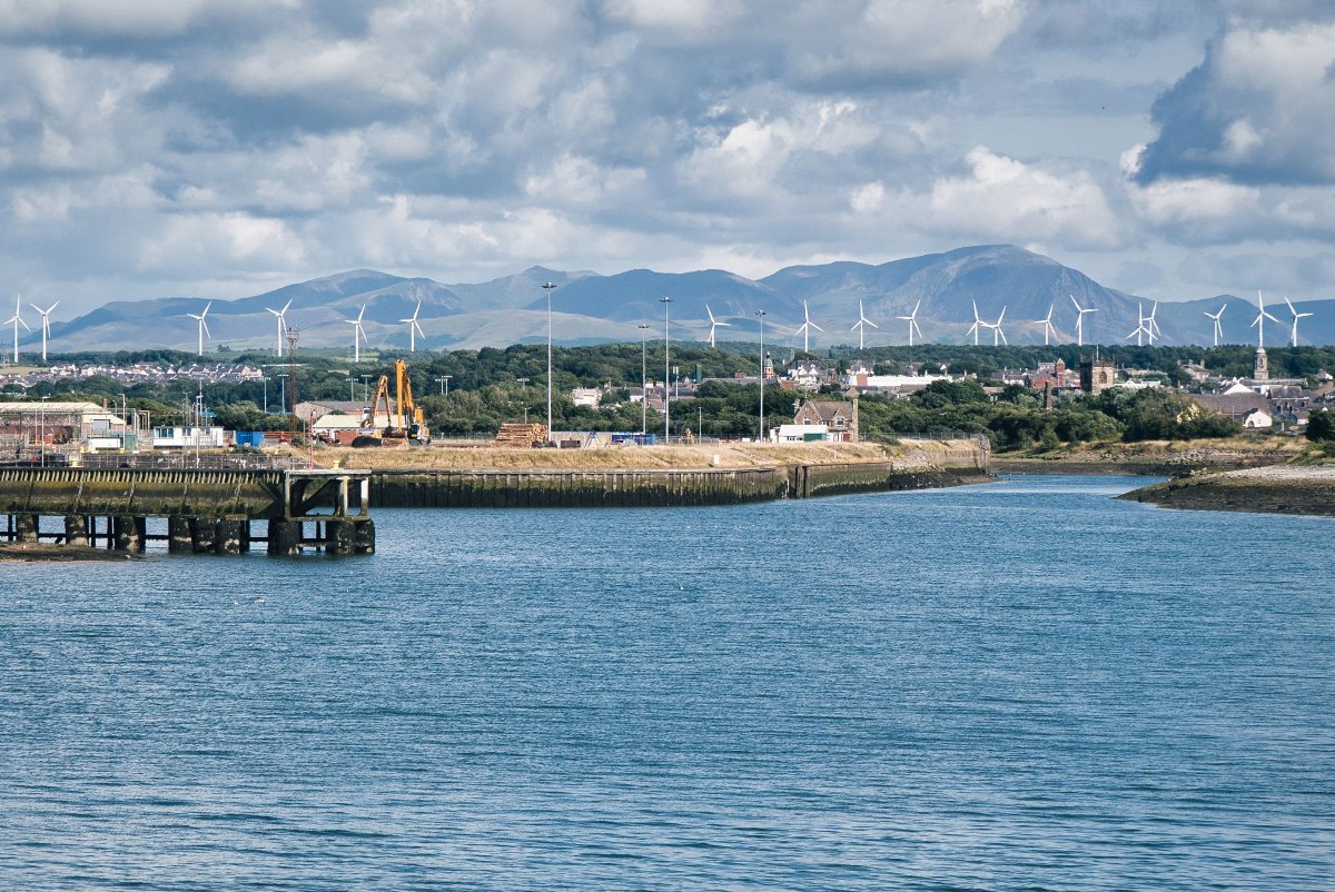
A well-used park in the centre of Whitehaven, with wide tarmac paths and a large grassed area that’s good for a picnic. The recently renovated adventure playground works well for children up to about eleven. The park sits next to Whitehaven Castle, where some of the original features – including the stone bandstand – are still intact.
Cleator Moor, C2C Path
Distance: 4 miles out and back, extendable | Difficulty: Moderate/hard
Bus: Stagecoach routes 30 or 22A
The cycleway at Cleator Moor is walking distance from the high street and runs on a flat, wide, well-surfaced path: ideal for pushchairs and wheelchair users. Benches appear at regular intervals along the route. Keep an eye out for the sculptures dotted along the path, designed by local school children. You can go as far as you like – the path continues to Frizington, Rowrah and beyond.
Walkmill Community Woodlands, Whitehaven
Distance: Approx 1.5 miles | Difficulty: Moderate
Bus: Stagecoach routes 1 or 1A
Pick up the path from the far corner of the Walkmill Wood car park – it’s easy to follow and won’t lead you astray. The route is accessible and well away from roads, good for wheelchairs and small children alike. There are ponds and streams nearby, so keep an eye on little ones. Full trail information at walkmill.org.
Harrington Nature Reserve, Workington
Distance: 1 mile | Difficulty: Easy/moderate
Bus: Stagecoach routes 30 or 52
A beautiful little nature reserve – meadows, birds, unusual habitats and a genuinely accessible main path on wide tarmac. The woodland route near Eller Beck is not wheelchair accessible (it narrows and gets wet), but the main loop is well worth it on its own.
Vulcan Park, Workington
Distance: 0.5 miles | Difficulty: Easy
Bus: Multiple Stagecoach routes into Workington
A 14-acre town centre park ten minutes from the centre of Workington. The paths are wide and smooth throughout – good for wheelchairs and pushchairs – and there’s a fenced play area for younger children, plus a basketball court and agility course for older ones.
Allonby to Maryport, English Coast Path
Distance: 4 miles, extendable to 5.5 miles to Maryport | Difficulty: Moderate/hard
Bus: Stagecoach route 60
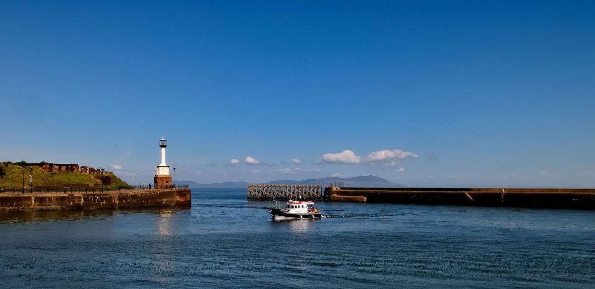
Down to the sea at Allonby beach, then along the new coastal path: this is one of the better accessible walks in West Cumbria, with a safe, well-surfaced route the whole way. There’s ice cream at Allonby if you need any extra incentive. The path continues all the way to Maryport if you want to make a proper day of it.
Dubwath Silver Meadows
Distance: Approx 1 mile | Difficulty: Easy/moderate
Bus: Routes X4/X5 – Workington to Bassenthwaite, Keswick and Penrith
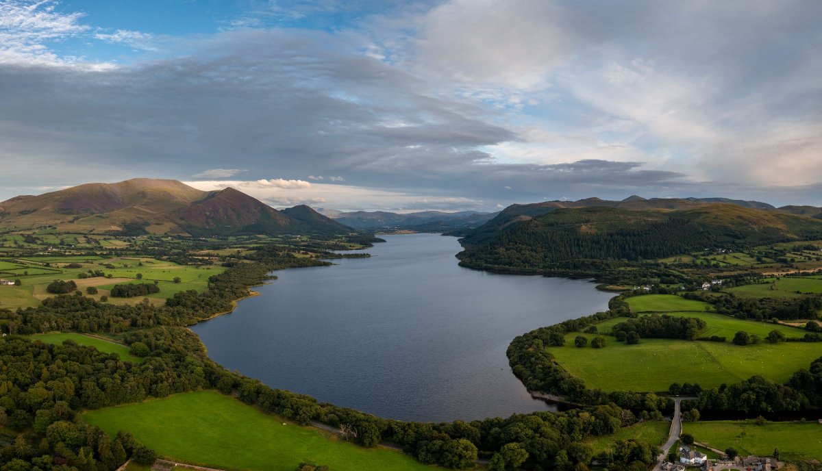
A short, lovely walk surrounded by Lake District views on all sides. The boardwalks make it flat and safe underfoot, fully accessible for wheelchairs. Bassenthwaite Lake is close by if you want to extend your afternoon.
Friars Crag, Keswick
Distance: 2 miles | Difficulty: Moderate
Bus: Honister Rambler (77/77A), Borrowdale Bus (78), Route 553, Route 554, Route 555, X4/X5 into Keswick
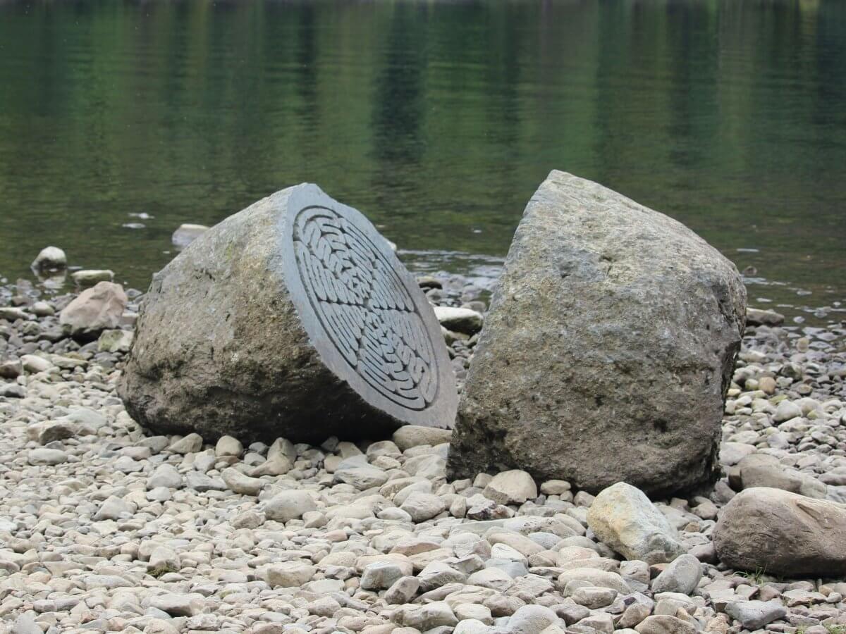
The boardwalk from the Theatre by the Lake out to Friars Crag is one of the best accessible routes in the whole of the Lake District. Wheelchair users can get all the way to the famous viewpoint overlooking Derwentwater – the kind of view that makes you understand immediately why people talk about this county the way they do. It’s also good for scooters, which delights children. Half a dozen bus routes into Keswick means you have plenty of options for getting here.
Egremont Castle
Distance: 0.4 miles | Difficulty: Easy
Bus: Stagecoach routes 30, 32 or X7
A short, accessible circuit of the castle grounds. Walking distance from Egremont town centre, free to visit, and the ruins are genuinely impressive. A good stop if you’re passing through on the bus.
South Cumbria
Barrow Park, Barrow-in-Furness
Distance: 0.5-0.8 miles | Difficulty: Easy
Bus: Route 6 or Route X6
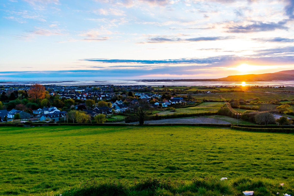
A traditional park in the centre of Barrow, walking distance from the town, with wide tarmac paths throughout. There’s bowling, a putting green, a boating lake, a miniature railway and a play area. The cafe opens from Easter through October. Accessible for wheelchairs and pushchairs, and there’s enough going on here to fill a few hours without really trying.
Lightburn Park, Ulverston
Distance: 0.3 miles | Difficulty: Easy
Bus: Route 6 or Route X6
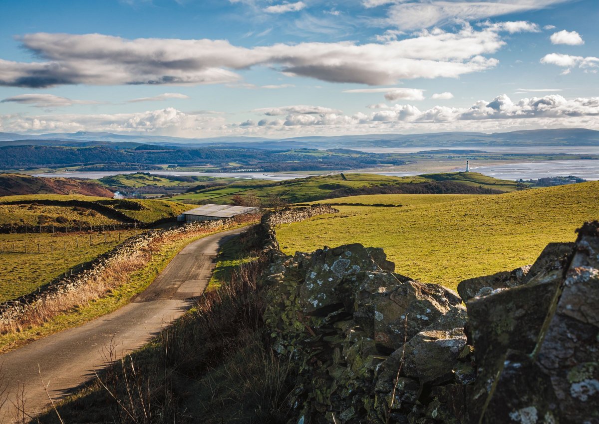
A small but well-equipped park in Ulverston with a children’s play area, skate ramp, five-a-side pitch, basketball court and a sensory garden. The paths are wide and easily accessible. There are benches for anyone who needs a rest, which in my case is often.
Fell Foot, Windermere
Distance: 1 mile explore | Difficulty: Easy
Bus: Route 6 or Route X6
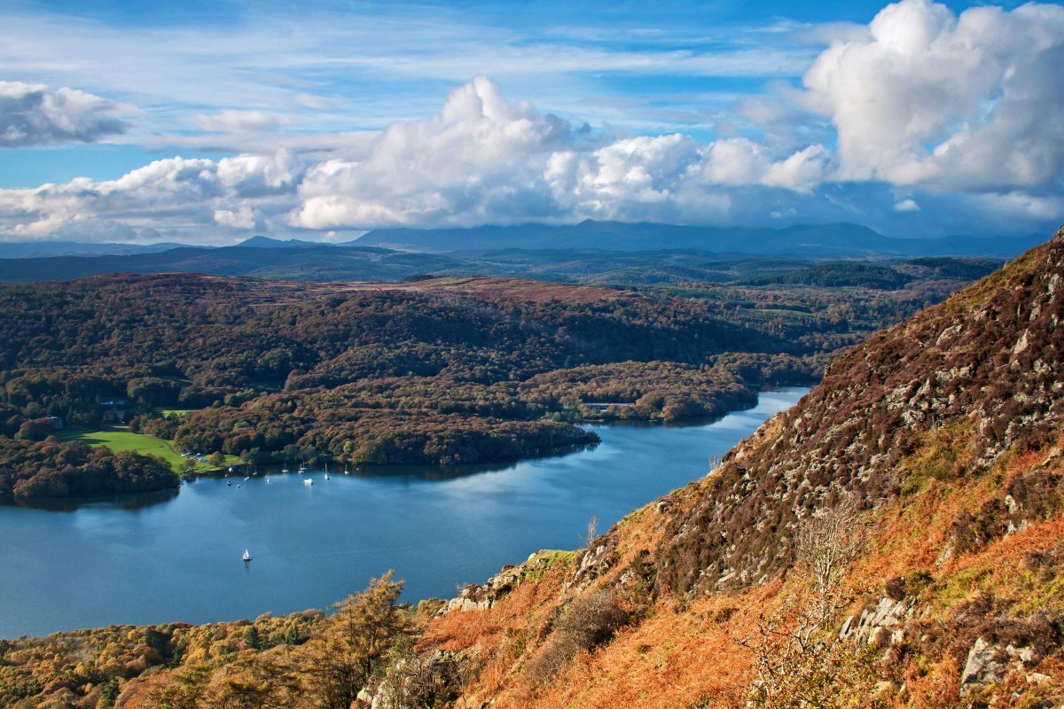
A stunning lakeshore park at the southern tip of Windermere, with mountain views that stop you in your tracks. The paths around the park are smooth and accessible, and there’s a children’s play area, cafe, toilets and easy lake access for paddling. The Lakeside to Haverthwaite steam train passes by at intervals, which causes quite a lot of excitement on this end of the park.
Grizedale Forest
Distance: 1 mile+ | Difficulty: Easy/moderate
Bus: Route 505 – Coniston, Hawkshead and Ambleside
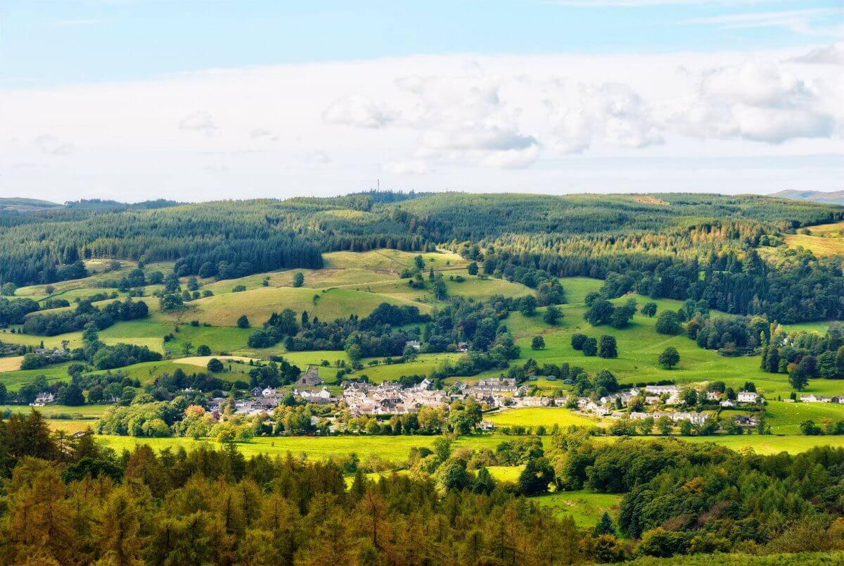
Grizedale Forest has multiple trails at different difficulty levels, Go Ape, a visitor centre, a cafe and a cycle hire centre. It also offers tramper hire – an all-terrain mobility scooter that opens up a lot more of the forest to people who’d otherwise be limited to the hard-surfaced paths. That’s a genuinely useful option and not something you’ll find everywhere. More on tramper hire at Grizedale.
Skelwith Bridge to Elterwater
Distance: 3.5 miles out and back | Difficulty: Moderate/hard
Bus: Route 516 from Ambleside to Skelwith Bridge, return from Elterwater
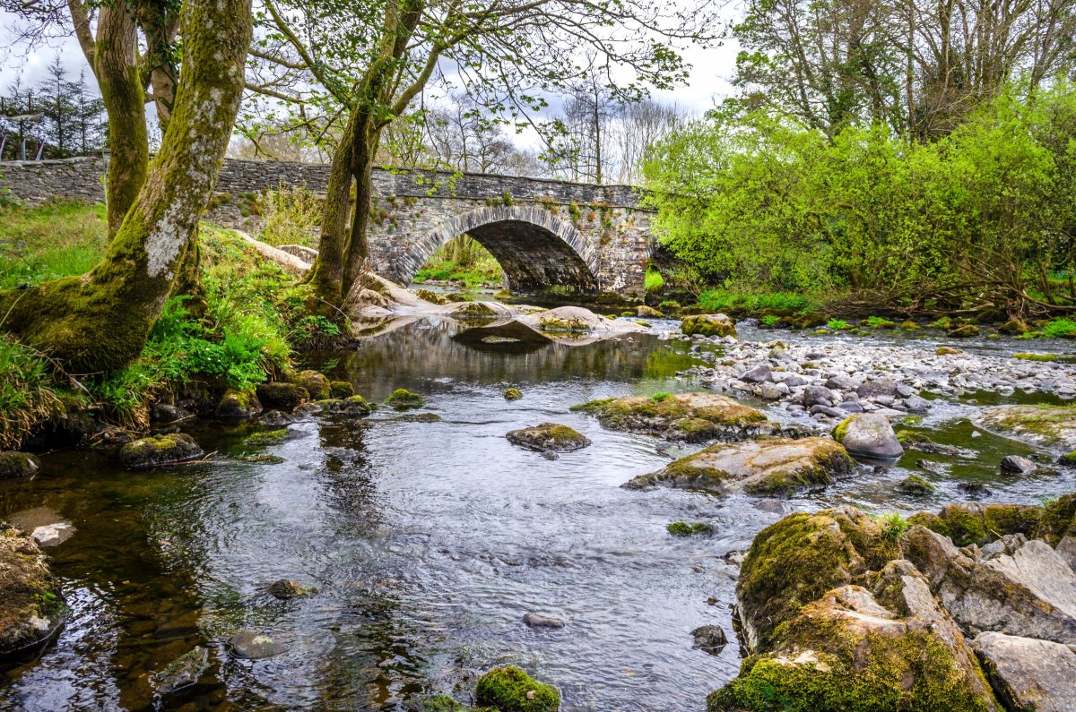
The pedestrianised path between Skelwith Bridge and Elterwater is one of my favourites. It’s fully accessible, completely away from traffic and packed with beautiful views. The path is wide and smooth – good for wheelchairs and prams both – and because it’s pedestrianised throughout, there’s none of the anxiety of sharing space with vehicles. It’s a long one for this list, but the route makes it feel very manageable.
Tarn Hows, near Ambleside
Distance: 2 mile loop | Difficulty: Moderate
Bus: Route 505 – Coniston, Hawkshead and Ambleside
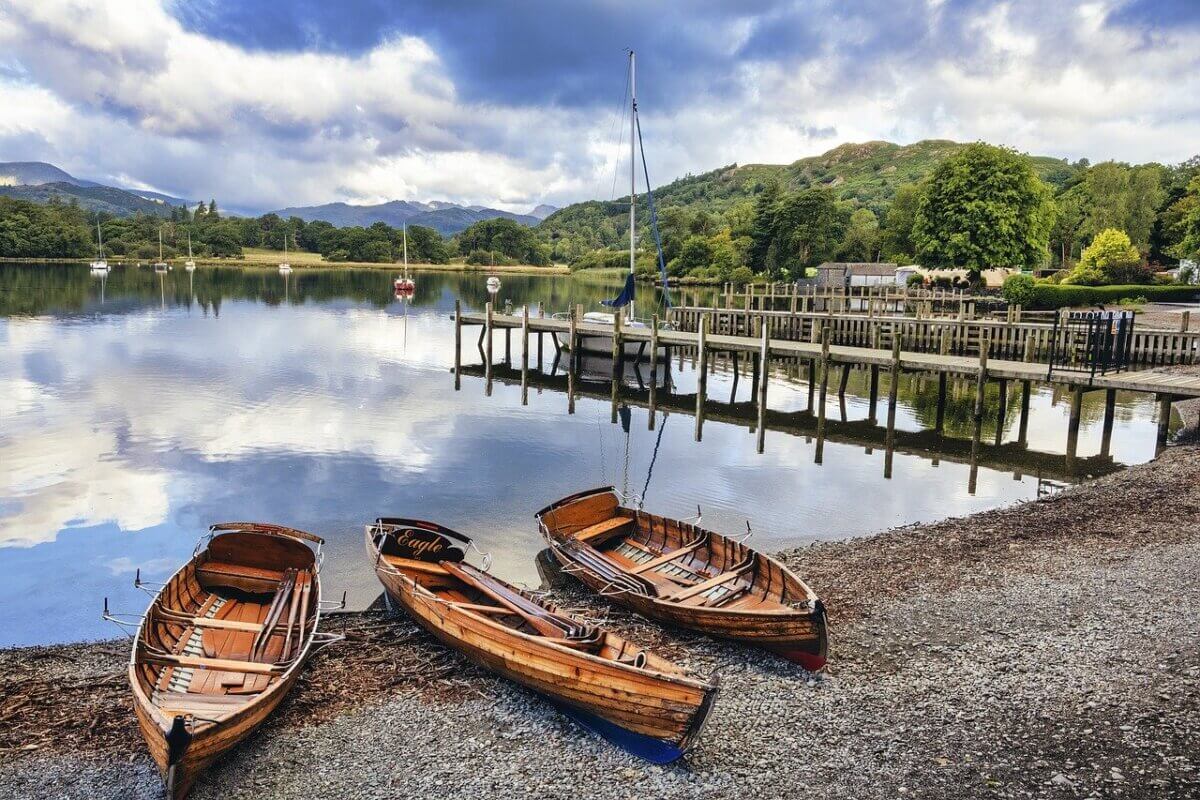
Tarn Hows is a Lake District classic and there’s a reason people keep coming back: it’s a proper circular walk on mostly accessible terrain, the views are beautiful and the whole loop is doable in a comfortable couple of hours. The path is slightly bumpy in places, so bear that in mind for wheelchair users. Tramper hire is available here too – no disability registration or Blue Badge required to use one.
Abbot Hall Park, Kendal
Distance: 0.5-0.7 miles | Difficulty: Easy
Bus: Multiple services into Kendal, including Route 555
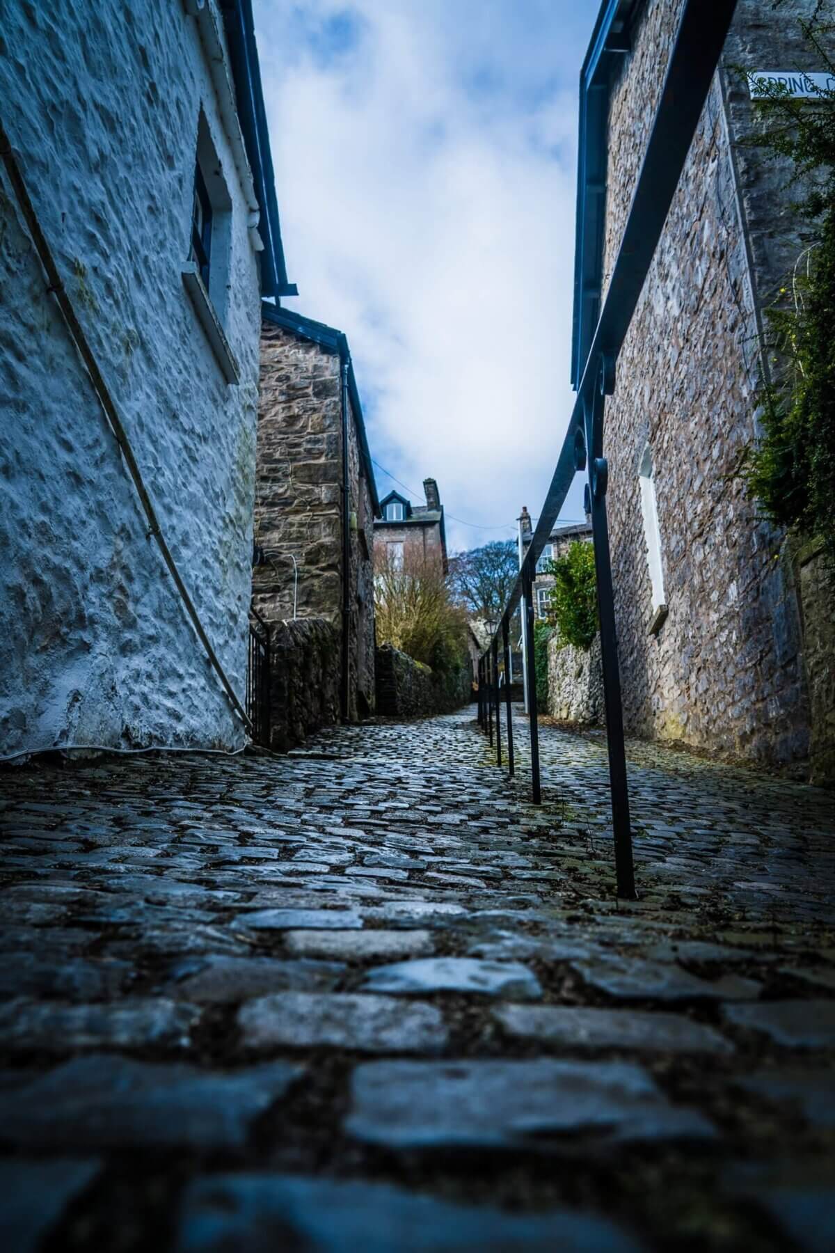
A short, central park with wide, accessible paths. The route goes around the bowling green, open grass and children’s play area. You can extend things with a 0.7-mile perimeter walk and a riverside stroll. Kendal Parish Church and Abbot Hall art gallery are both close by if you want to make a day of it.
Brothers Water, Hartsop Valley
Distance: 2-2.5 miles out and back | Difficulty: Moderate/hard
Bus: Route 508 – Penrith, Patterdale, Kirkstone Pass and Windermere
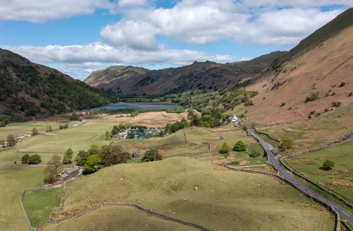
Brothers Water is a small lake in the Hartsop Valley and this is one of the most spectacular accessible walks in Cumbria. The path runs along the shoreline, level and safe throughout, with the kind of views you’d expect to pay admission for. The terrain can be bumpy in places. It’s also reasonably sheltered, which makes it a better option on wet days than most.
Jenkins Field, Glenridding
Distance: 0.5 mile loop | Difficulty: Easy
Bus: Route 508 – Penrith, Patterdale, Kirkstone Pass and Windermere
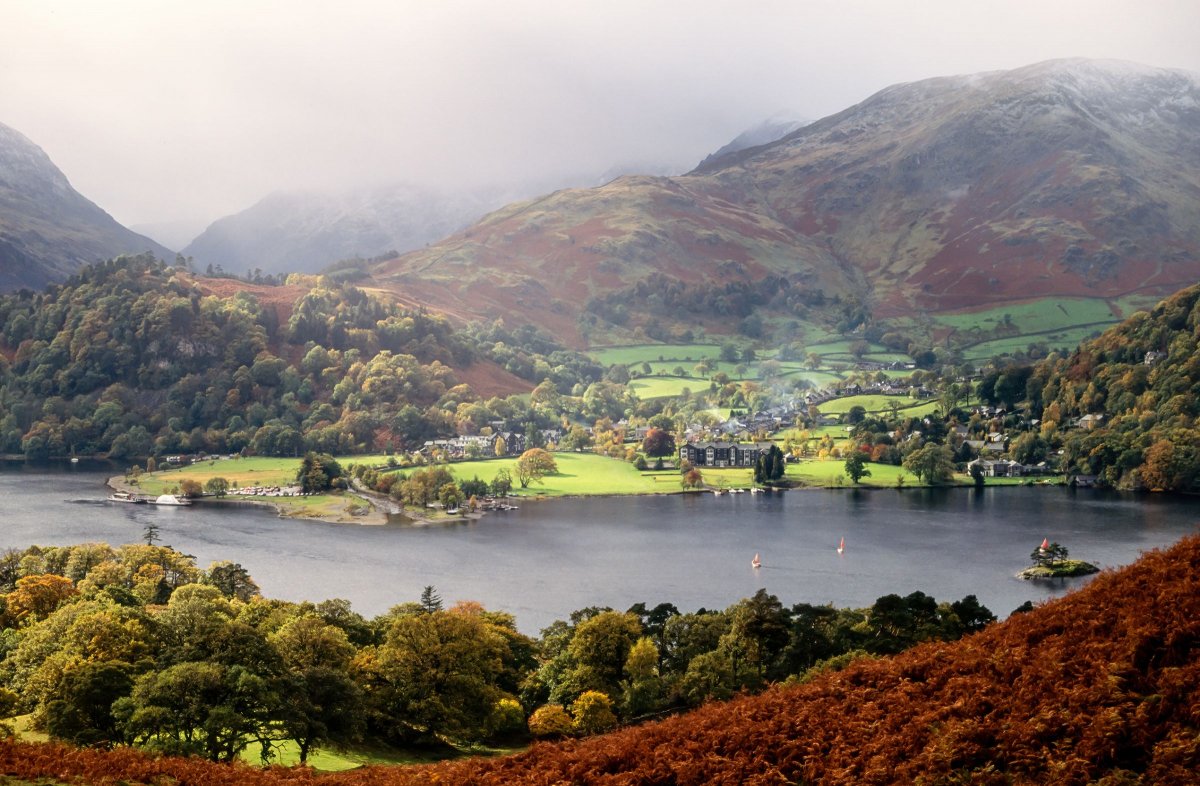
A short but very worthwhile loop with benches along the shoreline and views that punch well above the route’s half-mile. It’s the kind of place where you sit down for five minutes and end up staying for half an hour. There’s a cafe – the Lakeside Tea Room – with indoor and outdoor seating, which helps.
Askham Bridge, near Penrith
Distance: 2 miles out and back | Difficulty: Moderate
Bus: Stagecoach route 106
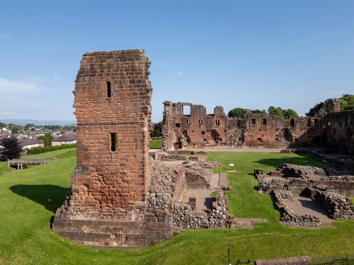
A traffic-free pedestrianised path alongside the River Lowther: flat, well-maintained and very easy to follow. Good for wheelchairs, bikes and scooters, and safe enough that children can roam without too much supervision. Look for the sign for Eamont Bridge to pick up the path. A lovely, low-key way to finish off a list of thirty walks.