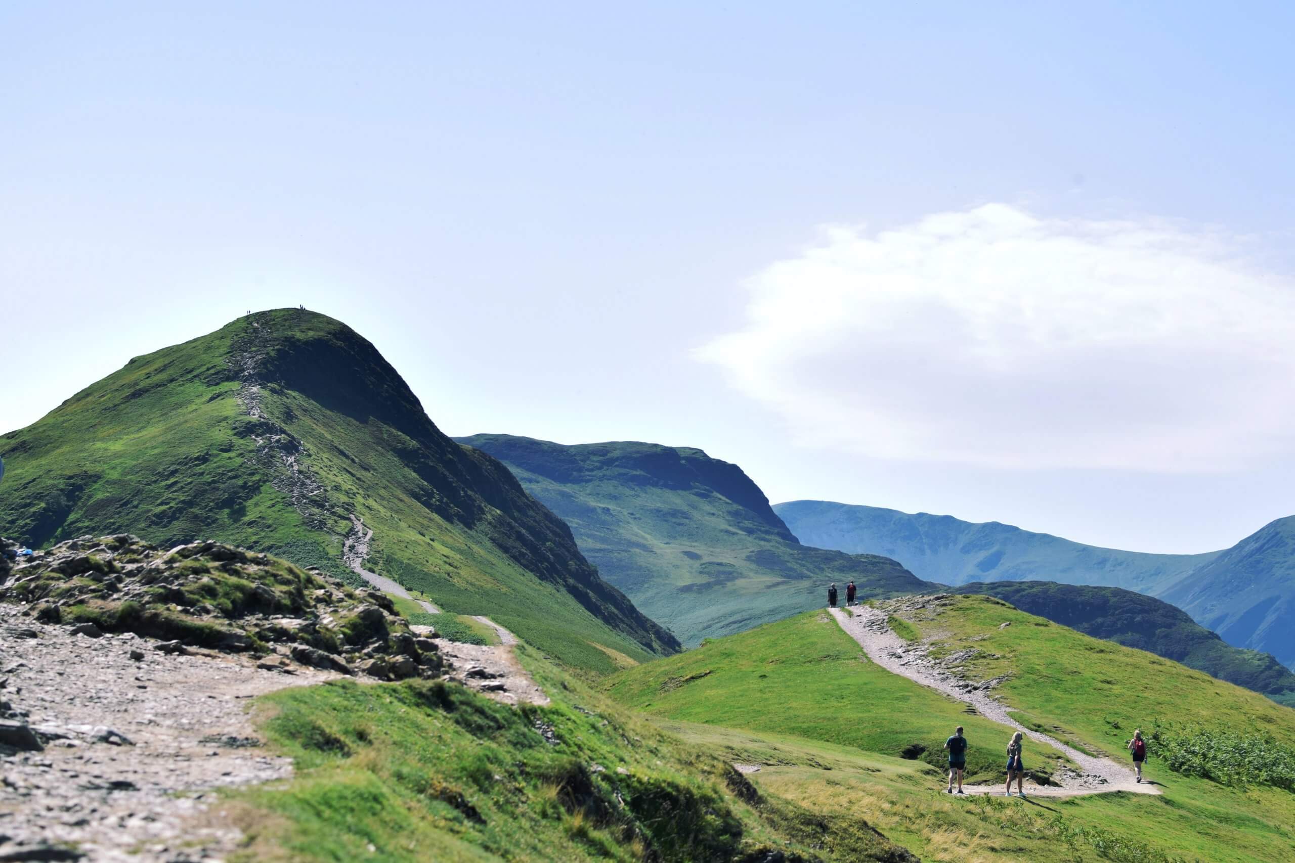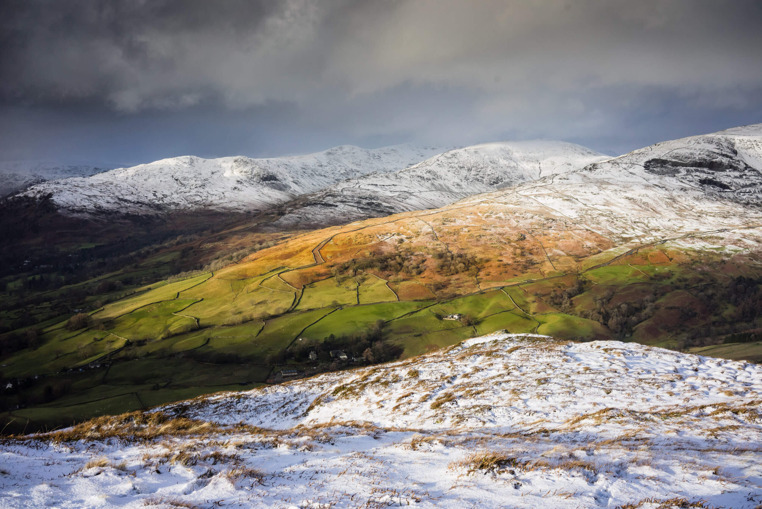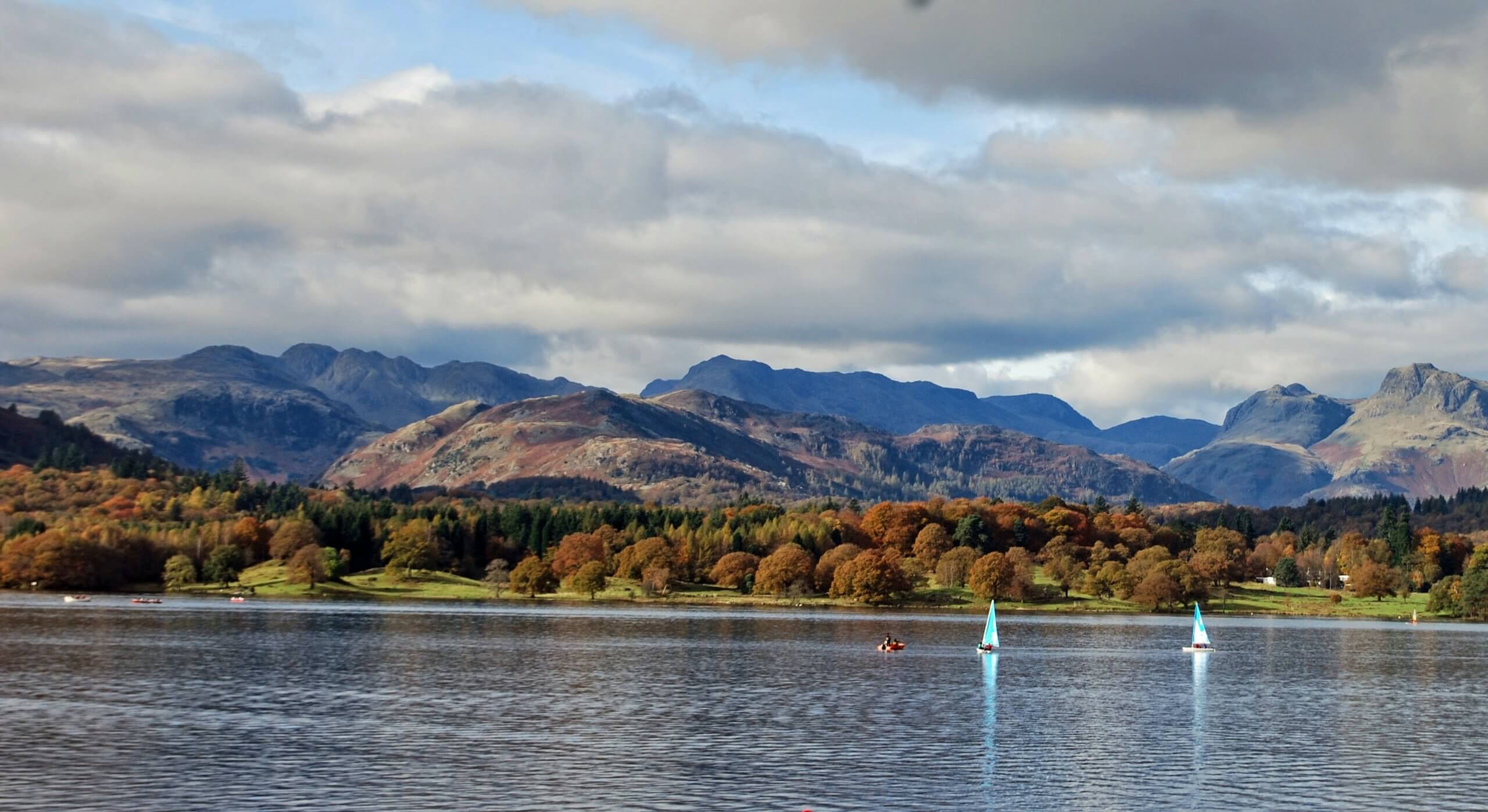
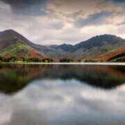
Cumbria is at its spectacular best at this time of year and 2023 promises to be exceptional for autumn colours.
The National Trust says the wet summer has meant trees have not been under so much stress. That should bring dazzling displays of reds, ambers, butter yellows and russet browns as the leaves turn.
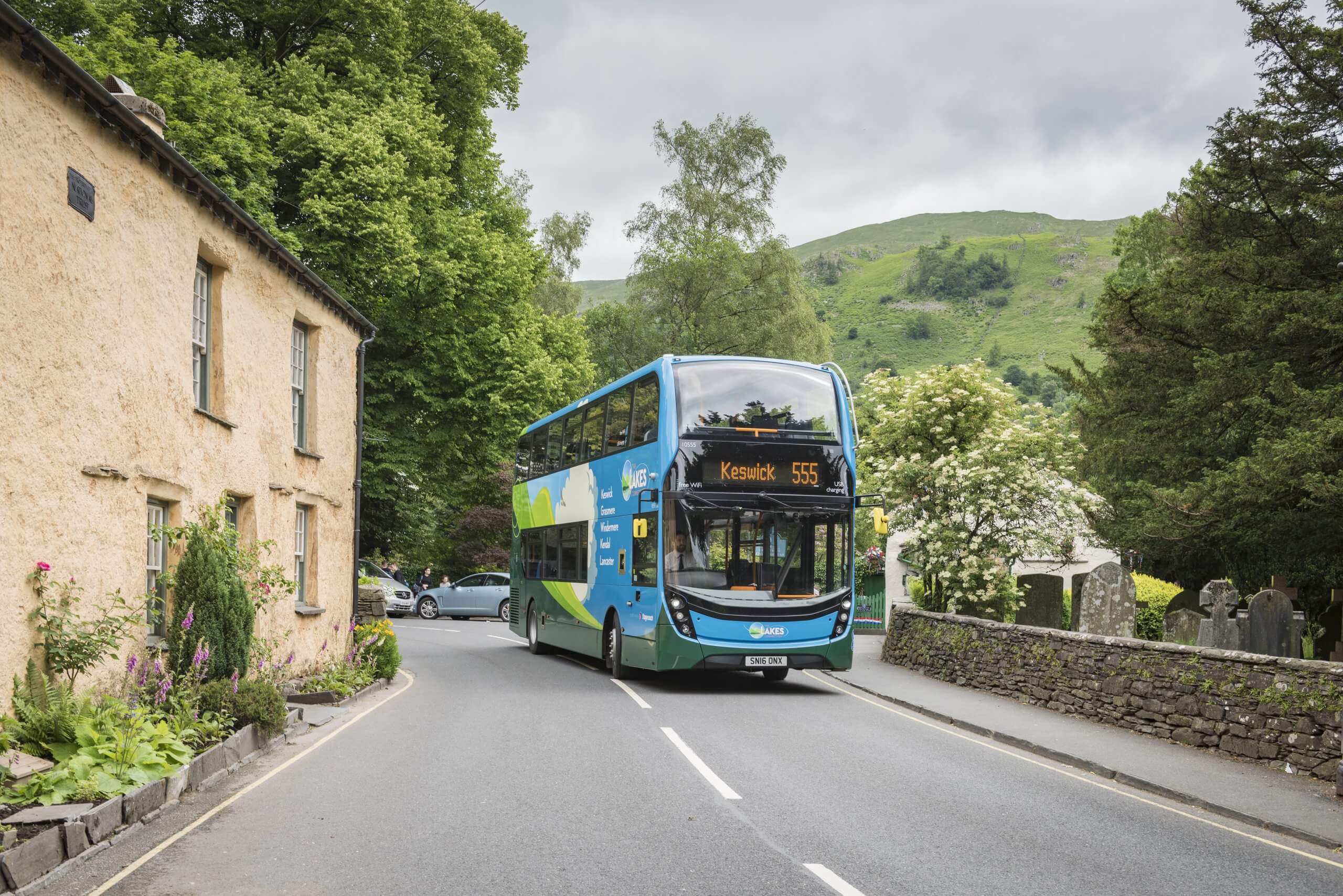
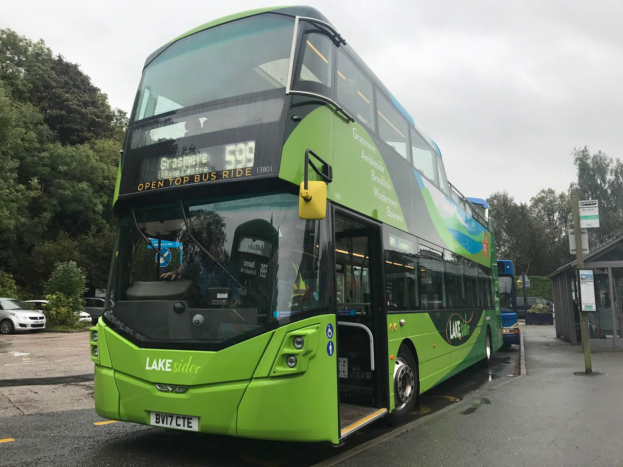
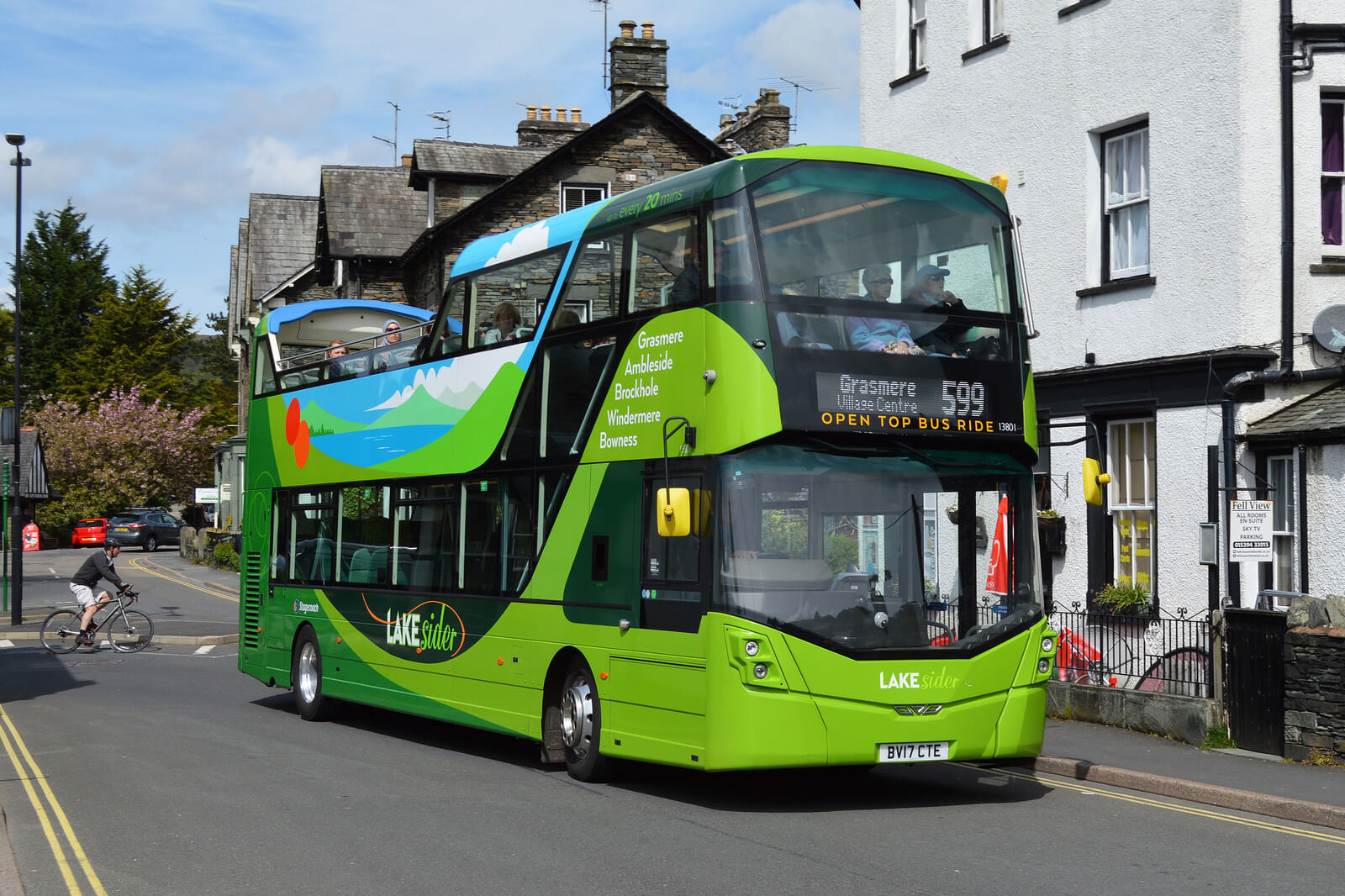
The best ways to enjoy the autumn colours are on foot and from a Stagecoach bus. Not only is the bus better for the environment than a car, you’re higher up to see over walls, nobody has to drive and there are no parking worries.
Some routes have double-deckers and open-top buses that give a fabulous panorama. Pensioners travel free with a NoW card while everyone else pays only £2 per journey under the national fare-cap scheme.
If you need inspiration, here are 10 walks, in ascending order of length, showing Cumbria’s autumn colours at their finest. All are accessible by Stagecoach bus. Make sure you have a map and suitable footwear.
For information on bus times, go to https://www.stagecoachbus.com/ or download the Stagecoach Bus app from Google Play or Apple’s App Store.
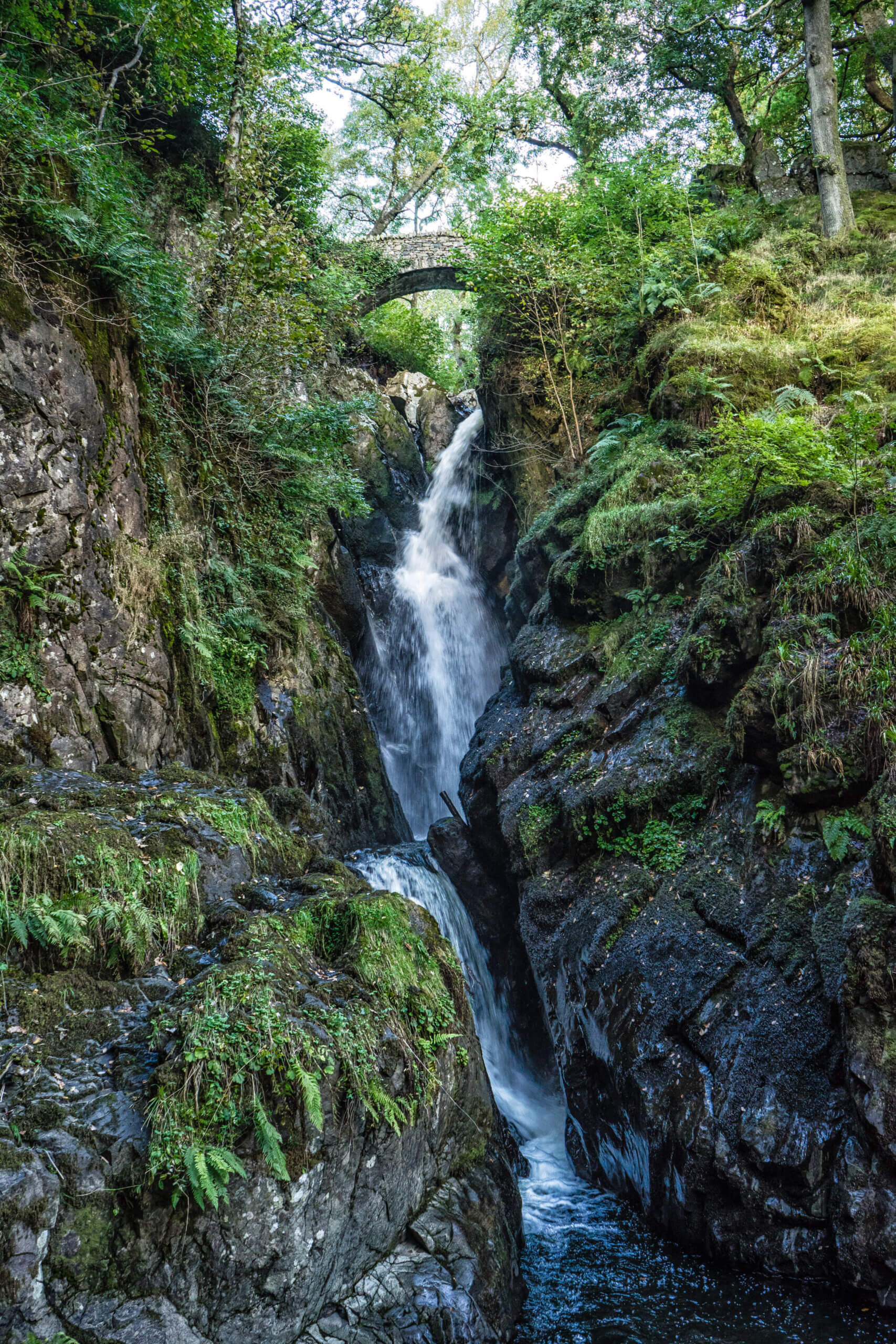
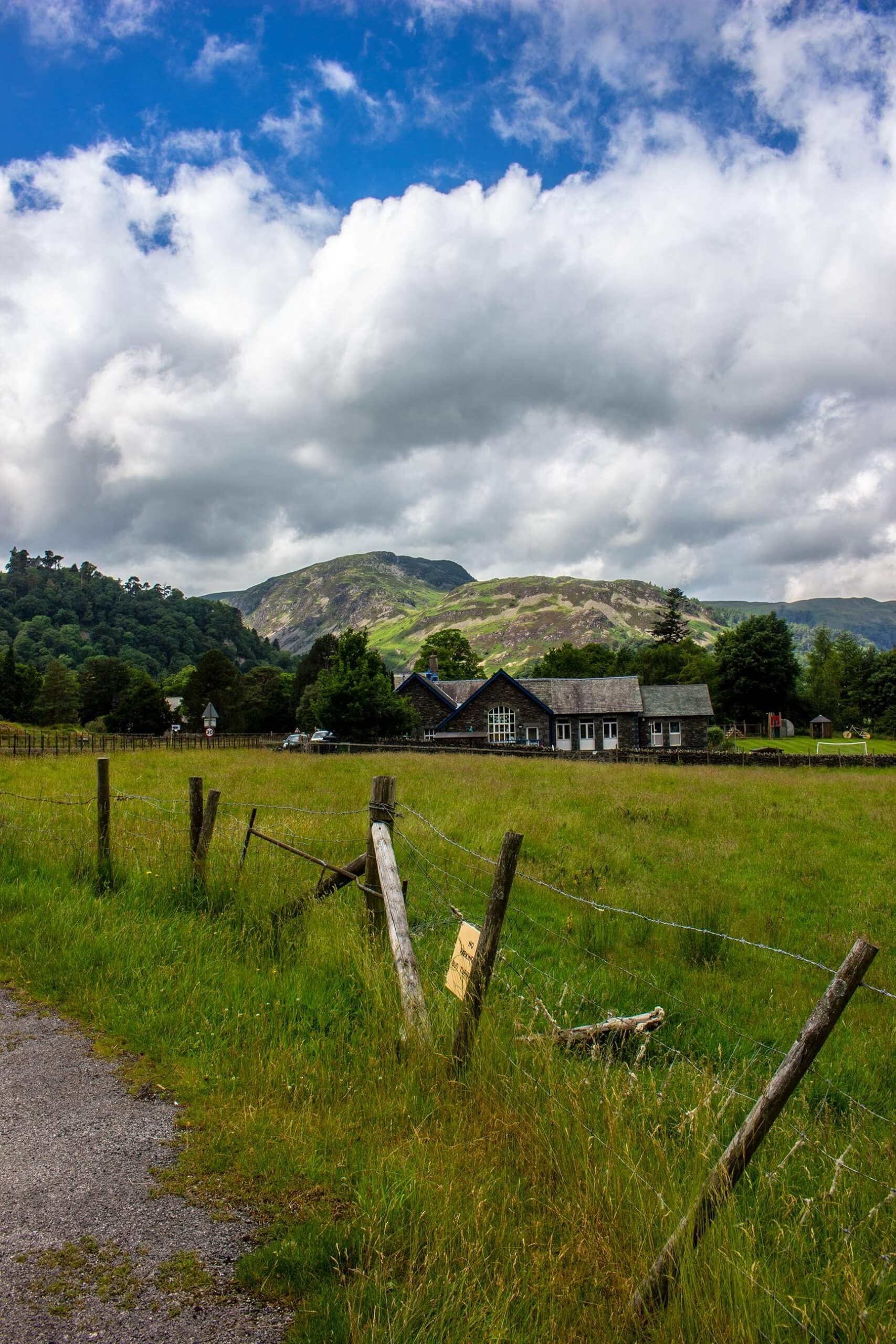
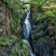
Aira Force
Bus route: 508 from Penrith to Glenridding, return from Aira Force
Length of walk / difficulty: 2.5 miles, good paths, 212ft of ascent
Map: Ordnance Survey Outdoor Leisure 5, English Lakes NE
From the bus stop in Glenridding, head north to join the main road, then right onto a footpath hugging the lake shore. This is part of the Ullswater Way, a long-distance route around the lake. The path keeps close to the lake all the way to Aira Force where there’s a tearoom to fill in time before the bus. You can extend the walk to the waterfalls or, if you’re feeling energetic, climb the path above Lyulph’s Tower for a breathtaking view of the head of Ullswater.
Hampsfell Hospice
Bus route: X6 from Barrow or Kendal to Grange-over-Sands
Length of walk / difficulty: 3.5 miles, paths muddy in places, 740 ft of ascent
Map: Ordnance Survey Outdoor Leisure 7, English Lakes SE
From the bus stop at Grange railway station, walk along Windermere Road. Where the pavement ends, take the path left into Eggerslack Woods. It emerges onto open fell leading to Hampsfell Hospice, a limestone shelter with a topograph to identify landmarks. Savour the panorama of Morecambe Bay and the Lakeland hills. Head south along the ridge, dropping down to Spring Bank and then Hampsfell Road back to Grange.
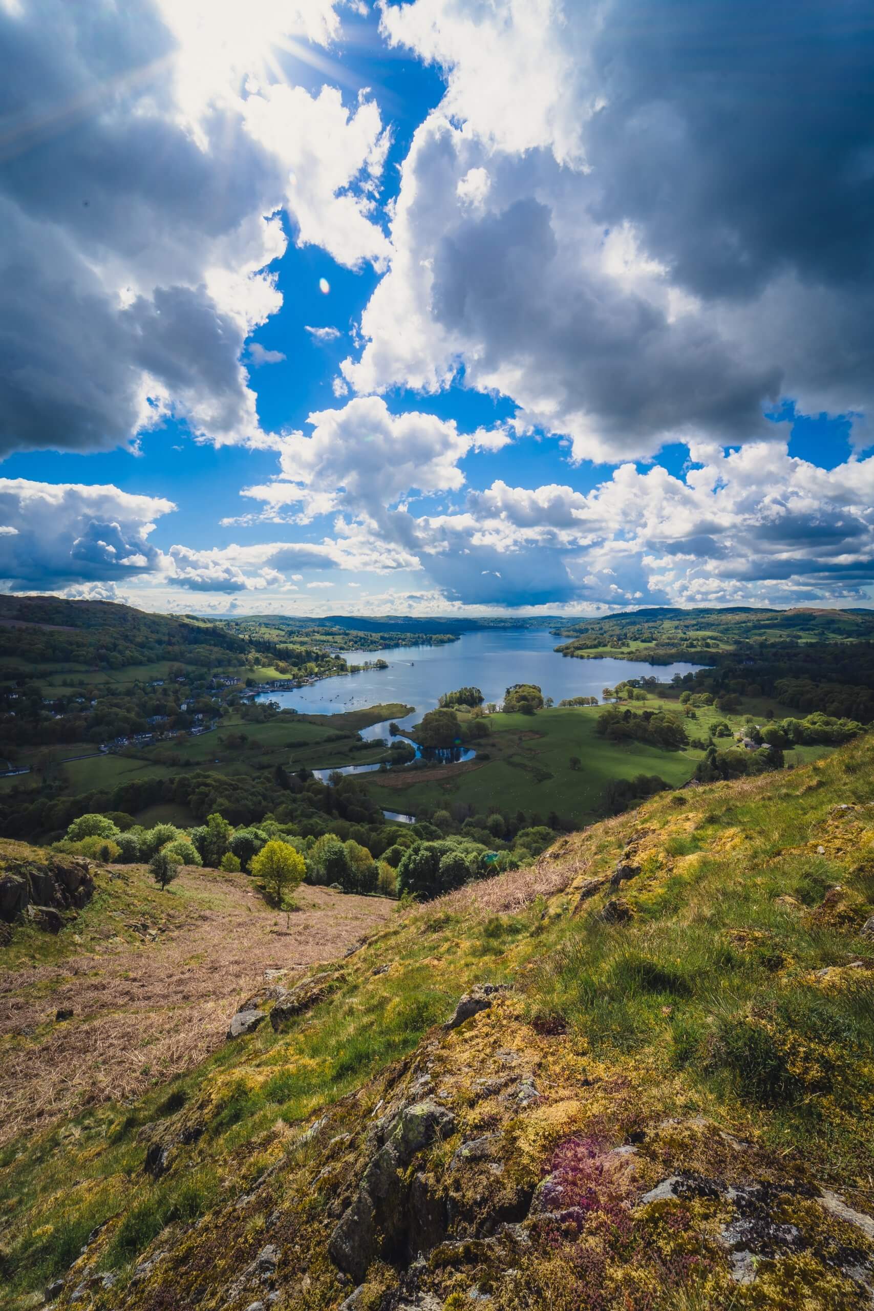
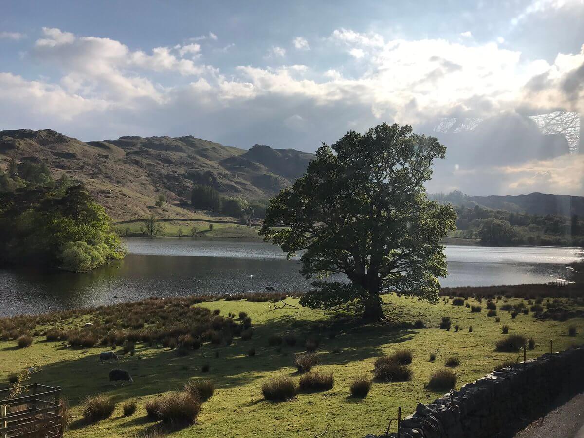
Loughrigg Tarn and Loughrigg Terrace
Bus route: 505 from Ambleside to Skelwith Bridge, return on Lakes Connection 555 or Lakesider 599 from Rydal
Length of walk / difficulty: 3.6 miles, good paths, 558ft of ascent
Map: Ordnance Survey Outdoor Leisure 7, English Lakes SE
Take the lane next to the bus shelter, climbing uphill, around a right bend, then turn left on a track to Tarn Foot and Loughrigg Tarn, a real jewel that looks at its best in the autumn colours. When the track emerges at a lane, turn right, climbing again, then as it descends go right onto Loughrigg Terrace for a stunning view of Grasmere. The path continues alongside Rydal Water, with an optional detour right to Rydal Cave, and on to Rydal village.
Tarn Hows
Bus route: 505 from Ambleside to Hawkshead Hill, return from Coniston
Length of walk / difficulty: 3.9 miles, mostly good paths, 342ft of ascent
Map: Ordnance Survey Outdoor Leisure 7, English Lakes SE
Make sure you get off at Hawkshead Hill, not Hawkshead. Take the lane signposted Tarn Hows. Turn right at the junction, then left onto a path uphill to Rose Castle and Tarn Hows, a Lakeland gem. Follow the path keeping The Tarns on your right to reach a car park, from where a path leads down to Boon Crag and Coniston. To shorten the walk, you can catch the bus at Boon Crag.
Threlkeld to Keswick
Bus route: X4 or X5 from Workington or Penrith to Threlkeld, return from Keswick
Length of walk / difficulty: 4.0 miles, easy surfaced path, 95ft of ascent
Maps: Ordnance Survey Outdoor Leisure 4 & 5, English Lakes NW & NE
We follow the trackbed of the old railway line to Keswick, now a level, wheelchair-accessible footpath. Ask the bus driver to drop you at the stop at the west end of Threlkeld. Walk towards the A66 where the dedicated path begins. Once on it you can’t go wrong, so enjoy the autumn colours of Brundholme Wood as the route crosses and re-crosses the River Greta.
Gelt Woods
Bus route: 685 from Carlisle or Newcastle to Brampton, return from Hayton Hall
Length of walk / difficulty: 5.7 miles, quiet lanes and paths, muddy in places, 667ft of ascent, take care crossing the busy A69
Map: Ordnance Survey Explorer 315, Carlisle
Ask the driver to drop you at the St Martin’s Drive stop in Elmfield. Walk up Elmfield to take a left turn across fields to Capon Tree Road, turn right then immediately left along the lane to Low Gelt Bridge. Go left here climbing uphill through the woods to emerge on the road at Middle Gelt Bridge. Turn right, then right onto a path signposted Low Gelt. Take a left for Hayton, walk through the village and at the far end go right on a lane to the A69. Turn left for the bus stop for Carlisle or cross the road and go right for the Brampton stop.
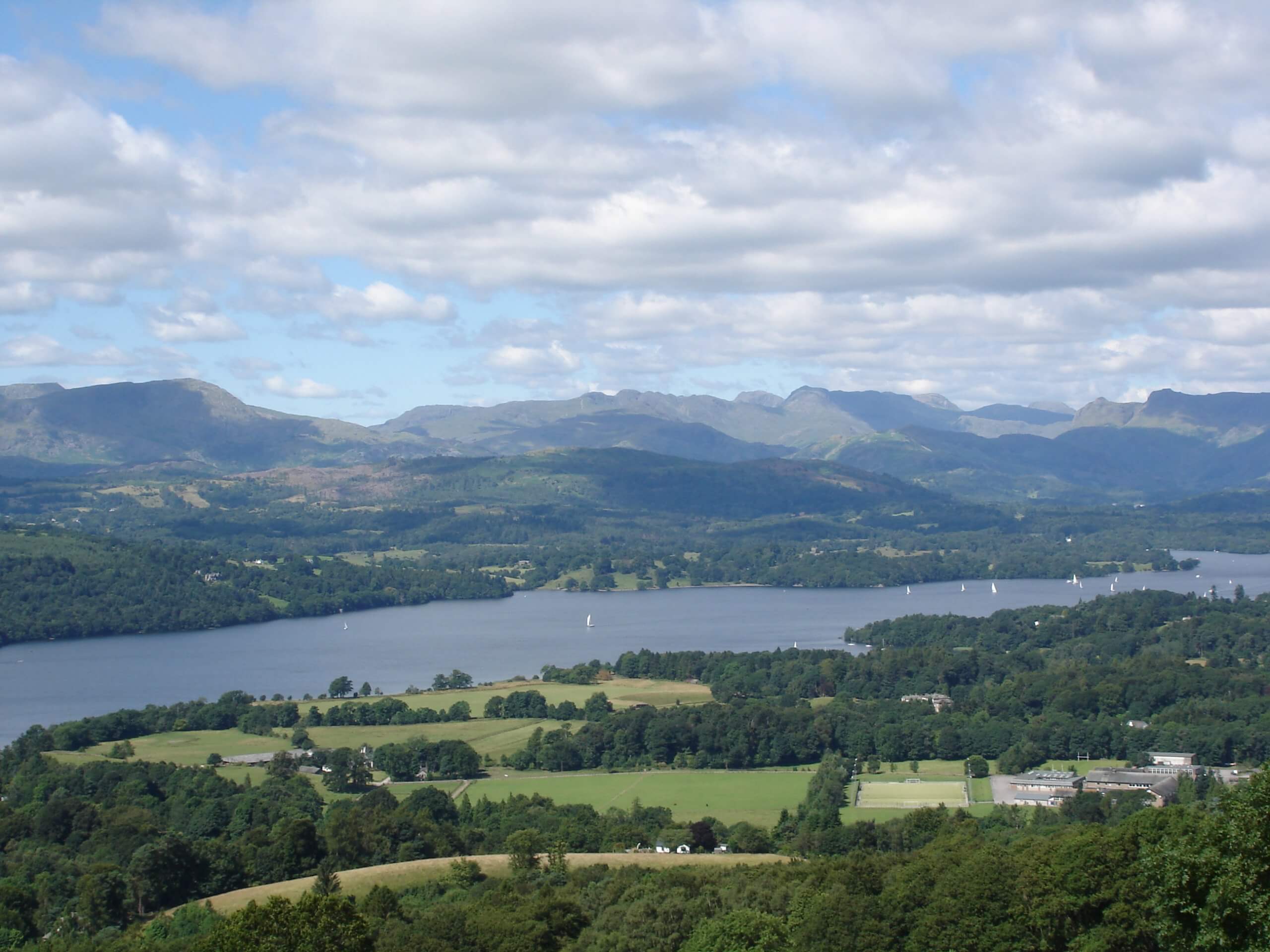
Orrest Head and Jenkin Crag
Bus route: 6, 505, Lakes Connection 555, Lakesider 599 or 755 to Windermere, return on Lakes Connection 555 or Lakesider 599 from Ambleside
Length of walk / difficulty: 6.0 miles, mostly good paths, 1,148ft of ascent
Map: Ordnance Survey Outdoor Leisure 7, English Lakes SE
Cross the main road from Windermere Station to ascend Orrest Head, the first Lakeland hill Wainwright ever climbed. He was hooked and you will be too. Admire the view then head north to Far Orrest and beyond the A592. Turn right (there is a pavement), then left on a path to a bridge over Trout Beck. Turn right when you reach the road, past Townend (National Trust), then left to follow Robin Lane to Jenkin Crag and Ambleside. This section offers an excellent vista across Windermere to the Langdale Pikes and Coniston Fells.
Watendlath, Surprise View and Friar’s Crag
Bus route: 78 from Keswick to Rosthwaite, return from Keswick
Length of walk / difficulty: 7.1 miles, good paths, 1,228ft of ascent
Map: Ordnance Survey Outdoor Leisure 4, English Lakes NW
The hard work comes straight away with the stiff climb to Watendlath. You can refuel at the tearoom. Keep Watendlath Beck on your right, crossing on a footbridge to enter Ashness Wood. The path emerges near Surprise View looking down on Derwent Water. Follow the lane to Ashness Bridge then pick up the path that descends to the main road at Great Wood. Turn right, then left on the path to Friar’s Crag and Keswick. A truly superb autumn walk.
Lowther Castle
Bus route: 508 from Penrith to Eamont Bridge, return from Pooley Bridge
Length of walk / difficulty: 7.4 miles, 959ft of ascent, muddy in places
Map: Ordnance Survey Outdoor Leisure 5, English Lakes NE
Walk back to the mini-roundabout, turn right then right again on a track through woodland along the River Lowther. When it reaches a road, go straight across to the ruin of Lowther Castle, where there’s a cafe. Head downhill to cross the river again to the picturesque village of Askham. At the junction turn right and then immediately left. The road becomes a bridleway climbing to Moor Divock. At the top turn right to join a good track to Pooley Bridge.
Derwent Water and the Jaws of Borrowdale
Bus route: X4, X5, 554 or Lakes Connection 555 to Keswick, return on 78 from Rosthwaite
Length of walk / difficulty: 7.8 miles, good paths, 532ft of ascent
Map: Ordnance Survey Outdoor Leisure 4, English Lakes NW
From Keswick bus station, turn left at the main road to cross the River Greta, then immediately left to Portinscale. Turn left to follow the road through the village. Just after the Nichol End entrance, go left on a path through woods to Hawse End then alongside Derwent Water. When the path reaches a lane, turn left for Grange. To shorten the walk here, cross the bridge to the bus stop. To continue, turn right in Grange along the path to Rosthwaite through the Jaws of Borrowdale, which Wainwright thought was the loveliest square mile in Lakeland.
Notes to Editors
Photo credits:
Photos of Aira Force and Scandale – Copyright: John Hodgson
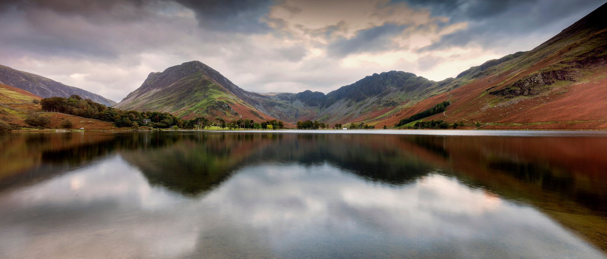
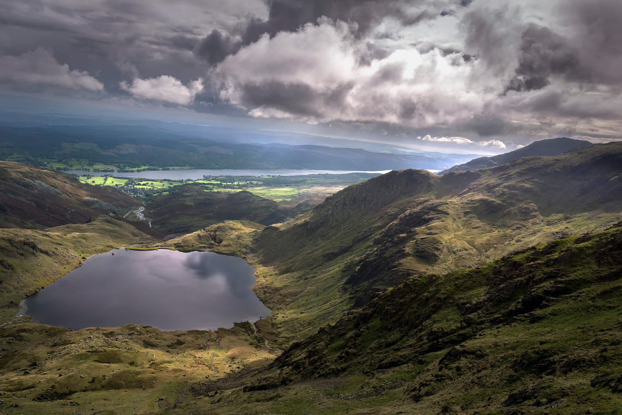
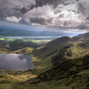
Photos of Coniston, Buttermere & Windermere – copyright: lakedistrict.gov.uk